Food Forest path — Long-term food systems
A locally-grounded course on reading your whenua — slope, aspect, water, soil, and vegetation patterns in the Bay of Plenty volcanic landscape. Flagship content from Vector Group Charitable Trust (CC45966). About 25 minutes.
Published by Food Resilience School NZ
Next step — plan your layers
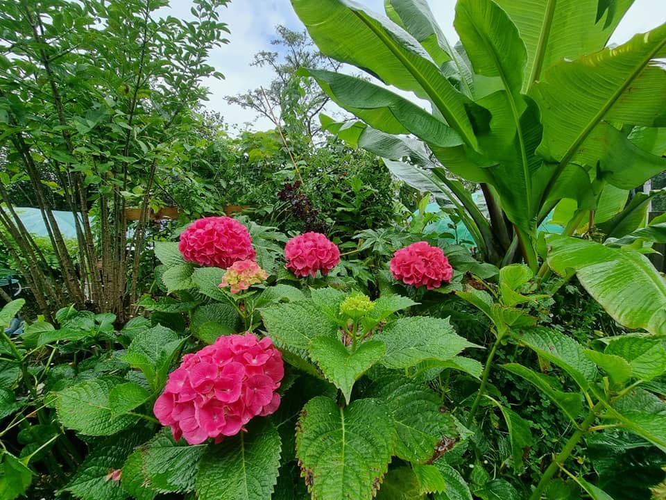
Map canopy, understory, and support species in 3D before you plant — 200+ NZ food-forest plants.
Open Canopy VisualiserNext step — apply on RegenOS
Turn what you learn into a land plan — map zones, water, and planting areas on your whenua.
Open RegenOSLearn to see patterns on your land before you plant.